


| Home | Daily Reports | February | Day 317 |
|
Day 317, Tuesday, 9 February, 2010 Distance travelled – 81.0 km Hobart to Triabunna Today we set off north on the way to complete our loop of Tasmania. Our day started on the coastal plains around Hobart Airport and finished on the coast at Triabunna. On the way we traversed some very different scenery - coastal estuaries, the townships of Sorell and Buckland, small hobby farms, vineyards, cleared grazing country, majestic forests, the picturesque Prosser River and finally returned to the coast and magnificent views of Maria Island. Shortly before we stopped for lunch we spotted an echidna at the side of the road. Not much else stood out for us today ;-) Zoom into the map and use the 'Satellite' layer to see our new location.
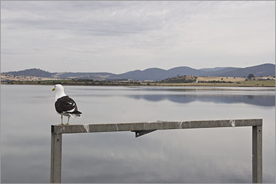
Pitt Water near Sorell
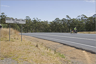
This sign brought back memories of my 1978 cycle trip. The hill is very appropriately named.
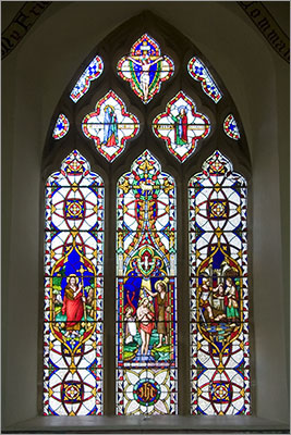
Window of St John the Baptist in Buckland Anglican Church. The origin of this window dates to between 1350 - 1400 and is linked to William the Conqueror when it was first placed in the Battle Abbey, Sussex, England. For safety it was removed during the Cromwellian Rebellion and remained buried for 200 years. It then turned up in Buckland between 1848 and 1850 but how it got there remains a mystery.
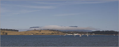
A sea mist blows over Maria Island. One minute we could see the island the next it was covered in cloud. |
Home | Daily Reports | About | Contact Us | Merchandise | Site Map
© 2008 Mark Arundel