


| Home | Daily Reports | October | Day 190 |
|
Day 190, Monday, 5 October, 2009 Distance travelled – 52.4 km Bush Camp to Mingenew
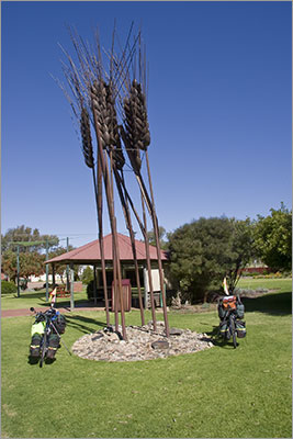
We left our campsite about 9.30am. With only 50km or so to ride today we were not in a rush. There were several long slow climbs today and wildflowers on both sides of the road. Unfortunately the best looking flowers seemed more prevalent on the uphill sections of road where we really didn’t want to stop pedalling. We had a late lunch at Cecil Newton Park in Mingenew near a giant wheat sheaf sculpture known by the locals as “Big Ears”. Mingenew is recognised as the largest inland grain receival point in the Southern Hemisphere. Wheat, lupins, canola barley and oats are all grown in the area. Mark was not feeling 100% so after we had put up the tent he was quickly off to the showers and in bed a good couple of hours before dark. The mozzies were very bad and each time we unzipped the tent we would spend at least 5 minutes eradicating them from inside the tent. The easiest technique was chasing the insect around the tent and clapping hands. By the end of the evening there was a good body count on the floor of the tent. Zoom into the map and use the 'Satellite' layer to see our new location.
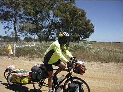
Denise nearing the top of another long hill
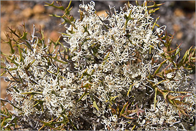
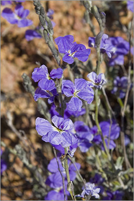
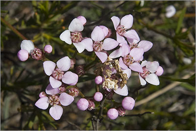
Unknown flower
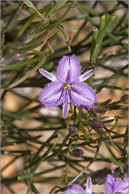
Unknown flower
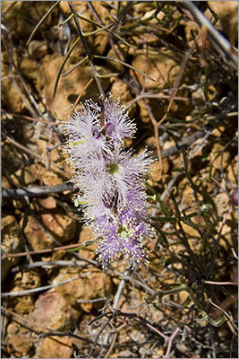
Unknown flower
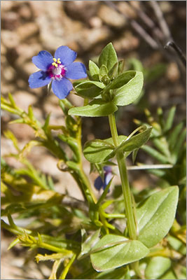
Unknown flower
Unknown flower
Unknown flower
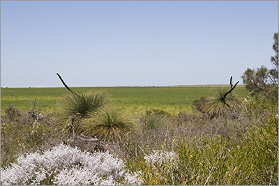
'Grass trees' with wheat field behind
The flies were so annoying on the slow climbs that we both got out the fly nets
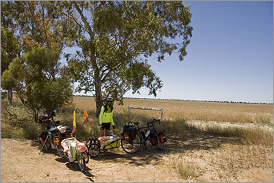
Morning tea stop #3
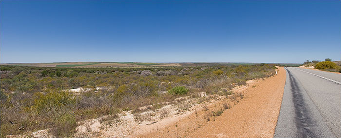
View looking over Depot Hill (flat hill right centre) towards Mingenew
'Big Ears' Mingenew
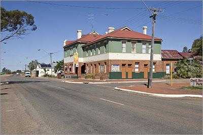
Mingenew Hotel
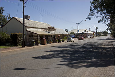
Mingenew Bakery, Information Centre and Supermarket
|
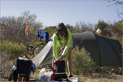 Last night was probably the coldest we have had so far on this trip – we needed both our sleeping bags! This morning, as was the case late yesterday, the mossies and flies drove us mad.
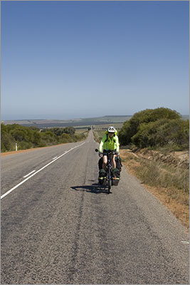
Home | Daily Reports | About | Contact Us | Merchandise | Site Map
© 2008 Mark Arundel