


| Home | Daily Reports | August | Day 137 |
|
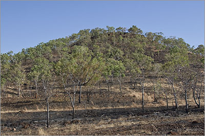
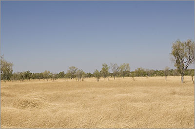
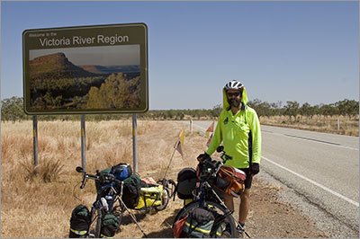
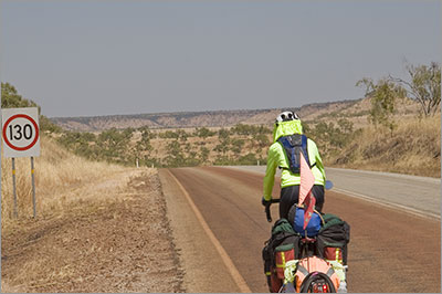
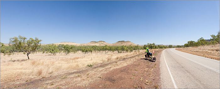
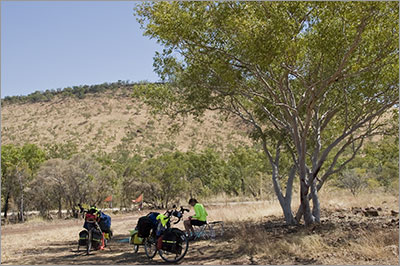
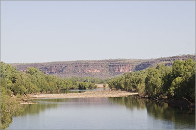
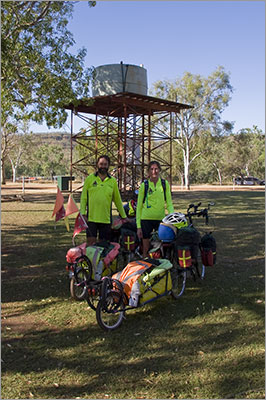
Day 137, Thursday, 13 August 2009 Distance travelled – 94.1 km Mathison Rest Area to Victoria River Roadhouse We got started just after 9.00 and it was already feeling warm. The road was a little up and down until just after lunch when it dropped reasonably quickly to the Victoria River. There are a lot of hills in front of us so we are concerned about the potential for a corresponding climb away from the river tomorrow. The country was a lot more interesting today than yesterday which made the riding a lot easier. We suspect one of the reasons we had difficulties yesterday was that there was no diversity in the scenery, making it hard to visually measure our progress. Today the country opened up and we always seemed to have a view to the skyline through lots of low hills. After about 45km we came across a sign welcoming us to the Victoria River Region after which the hills and ranges became a lot more dramatic. Some of the country had been burnt and this combined with the colour of the soil seemed to give the burnt slopes a purple hue. As we dropped down closer to the Victoria River the vegetation around the creeks became more lush and from time to time we got glimpses of what were possibly waterholes in the deeper parts of the creeks. At this time of the year the sun remains low in the northern sky and like yesterday we found the heat from the sun very intense just after 3.00pm. We are definitely looking forward to turning south so that the sun sets behind us. We got to the Victoria River just before 4.00pm where they are building a new high level bridge to replace the existing bridge that is closed by floods during the wet season. We stopped in the centre of the old bridge to take some photos and as we did a semi-trailer crossed giving the bridge an extremely good shake. We know that bridges are meant to have some flex in them but this felt like a ride on a trampoline. Zoom into the map and use the 'Satellite' layer to see our new location.
Burnt country along the Victoria Highway
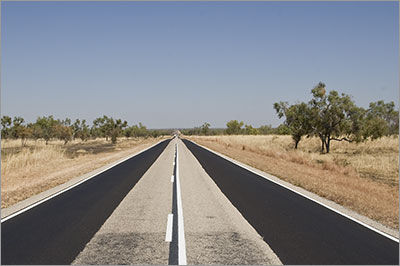
Our favourite road surface. The black repair at the edge of the road is very smooth. It also makes a good photo.
View from the Victoria Highway
View from the Victoria Highway
Welcome to the Victoria River Region
Not too fast Denise!
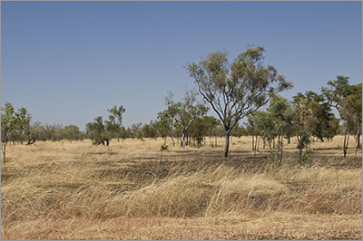
Country before entering Gregory National Park
Lunch
Victoria River from the old Victoria River Bridge
The two of us at Victoria River Roadhouse
|
Home | Daily Reports | About | Contact Us | Merchandise | Site Map
© 2008 Mark Arundel