


| Home | Daily Reports | November | Day 226 |
|
Day 226, Tuesday, 10 November, 2009 Distance travelled – 81.9 km Ravensthorpe to Munglinup
The weather forecast for today was afternoon thunderstorms and for most of our journey to Munglinup the overcast skies looked like they would deliver the forecast storms. To our surprise even with the overcast skies the temperature still reached the low 30s and the humidity was the highest we have experienced in a long time. On the positive side the terrain was not as hilly as we had been led to believe and we made good time with favourable north westerly winds. There was also a good display of wildflowers many of which we had not seen before. But as has seemed to be the norm in WA the best displays were beside the road halfway up a hill where we did not wish to stop. For some reason the good flower displays never seem to be on the flat bits. For some time now as we have ridden through the wheat belt of WA we have been wondering if we will ever see any of it being harvested. We missed the sugar harvest in Queensland and we were beginning to think we would miss the wheat harvest as well. But just 10km from Munglinup we came across a single header stripping a small field of grain. As we reached the Munglinup ‘wheat bin’ there were queues of trucks off loading the grain, which was being piled in two piles in the open. We camped opposite the Munglinup roadhouse and were joined on the lawn by an elderly couple riding their three wheeled motorbike and trailer around Australia. They were retired farmers from near Brisbane and had just spent three months building fences as volunteers in the fire affected areas of Victoria. Just before 7.00pm the promised thunderstorm arrived and we ended up having dinner inside our tent. The wind was so strong at one point if half flattened the tent which had us wondering what else was to come but this strong gust seemed to a one off. As we sat and ate dinner with the heavy rain outside we wondered about the piles of wheat we had seen as we rode into town. Did they cover them in time or did they leave them open to the rain? Zoom into the map and use the 'Satellite' layer to see our new location.
One of the very few hills today
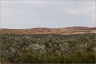
Mine site near Bandalup Hill
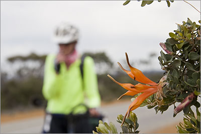
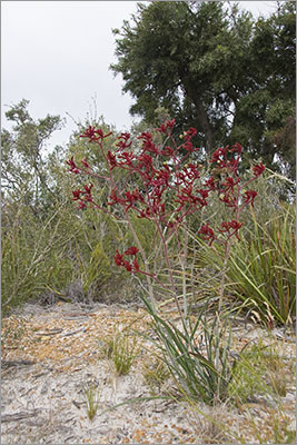
Kangaroo Paw
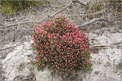
Unknown flower - past its prime but still looks good! |
 After talking with some of the locals we left Ravensthorpe just before 10.00am, which was later than we had wanted to, so we revised our plans to only ride 80km to Munglinup rather than our planned 120km.
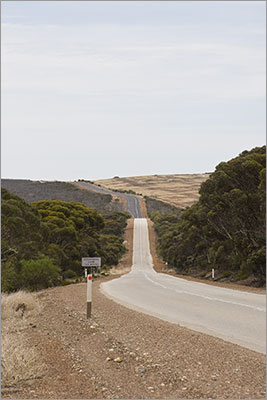
Home | Daily Reports | About | Contact Us | Merchandise | Site Map
© 2008 Mark Arundel