


| Home | Daily Reports | May | Day 041 |
|
Day 041, Saturday, 9 May 2009
Distance travelled – 79.3 km Tin Can Bay, Maryborough
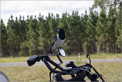
We took a short break at the turn off and were joined by a Butcher Bird that perched itself on Denise’s mirror (photo). Most of today’s ride was through pine forest and reminded us of our trip last year through the pine forests around Tumut. To start with we had the Wide Bay Military Training Area on our right and pine forest on our left. At one stage we had explosions on our right and falling trees from a tree felling operation on our left. Shortly after stopping for lunch in the pine forest we were attacked by mozzies and both ended up topping up the sunscreen and then added a layer of insect repellent. Denise was rather perturbed to discover she had been bitten through her niks. The last 18 km into Maryborough was reasonably quick with a nice level road and a tail wind. It was a cool night and the first time for a while that I have been able to wear long sleeves and long trousers in comfort. Zoom into the map and use the 'Satellite' layer to see our new location.
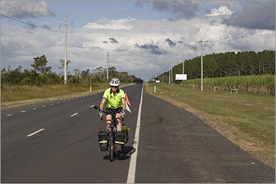
Denise on Cooloola Coast Road
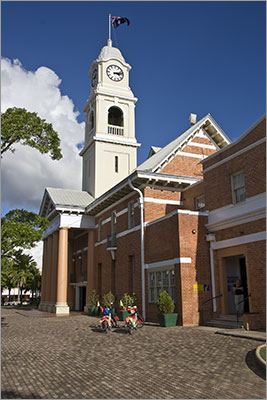
Information Centre next to City Hall, Maryborough. Built in 1908 with funds from benefactor George White. Made from locally made brick and red cedar.
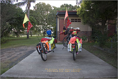
"Please do not park vehicles on here". Concrete slab in front of ensuite site at Wallace Caravan Park, Maryborough. |
 We rode the 14 km back out of Tin Can Bay to the Maryborough turn off. We expected this to take us a little while given the need to climb back up the hill so we were surprised to be turning onto the Maryborough road in less than 50 minutes.
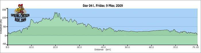
Home | Daily Reports | About | Contact Us | Merchandise | Site Map
© 2008 Mark Arundel