


| Home | Daily Reports | June | Day 085 |
|
Day 085, Monday, 22 June 2009 Cairns to Yungaburra Distance travelled – 63.2 km
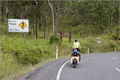
We had morning tea at Gordonvale and then headed out along the Gillies Highway, which would lead us to our destination for tonight, Yungaburra. About 10 km from Gordonvale we passed a sign indicating 19 km of winding road ahead. This was also the start of our much anticipated climb. Quite surprisingly we completed the climb reasonably comfortably. The average gradient was 8% on a nice smooth surface, which only required the occasional use of the ‘granny gear’. So we were very pleased with ourselves when we finally reached the top. However, we should not have been so smug as the last 10km into Yungaburra would prove rather testing for us, the road surface was a lot rougher and the ‘undulations’ a lot steeper so we were very pleased to finally roll into Yungaburra around 4.30. We booked into Eden House and found ourselves staying next to an American couple, Charles and Nanette, cycling around northeast Queensland for a 3 week holiday. Eden House is very nice and our cottage very comfortable. Zoom into the map and use the 'Satellite' layer to see our new location.
Lunch stop 1/3rd the way up the Gillies
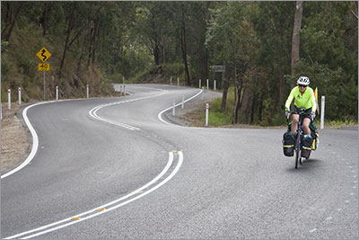
Still climbing the Gillies
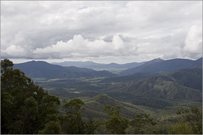
View from near the top of Gillies. The white dot in the middle distance is the plume from the Gordonvale sugar mill where we had morning tea.
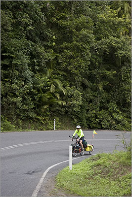
Still climbing the Gillies
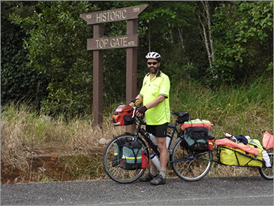
At the top of the Gillies
|
 We were not sure how we would go today. Everyone we had spoken to said the route we had selected included a long 17 km climb from sea level to well over 800metres. However, all agreed it would be the safest, quietest route to take up onto the tablelands from Cairns. The Kuranda route was shorter but supposedly had a lot more traffic.
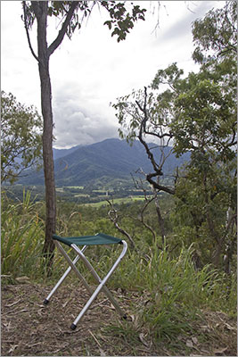
Home | Daily Reports | About | Contact Us | Merchandise | Site Map
© 2008 Mark Arundel